This woods located south of Monticello, west of Delphi, and east of Brookston features a 1 ½ mile loop trail thru a mature woodland along the Tippecanoe River. The 777 acre property features 3 natural springs .
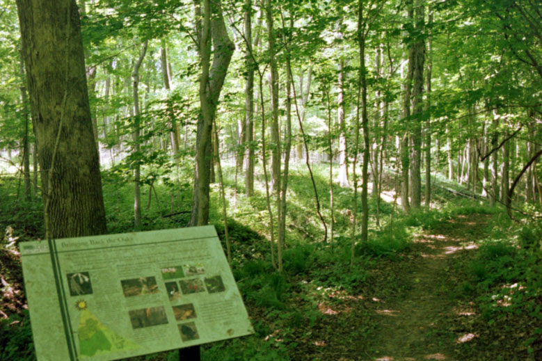
Educational sign on “Bringing Back the Oaks” along Moyer Gould Woods pathway.

Summertime with informational, educational signs along the paths at Moyer Gould Woods.
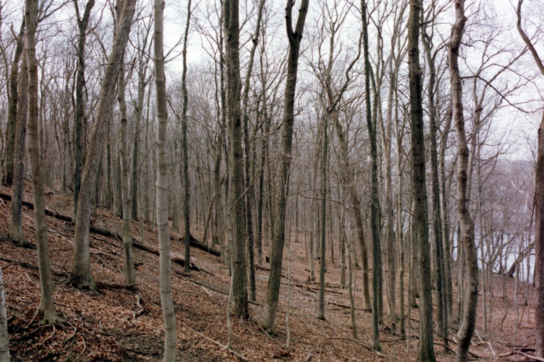
Wintertime at Moyer Gould Woods with view of hill side and Tippecanoe River.
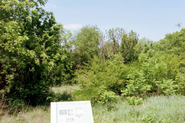
Springtime – Transitional area between grassland, farmland and woods.
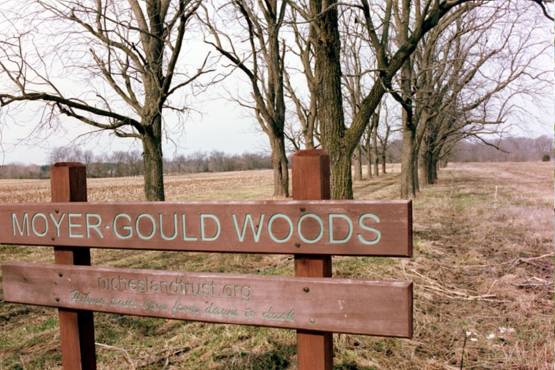
Winter, Early Spring view of entrance path lined with Black Walnut trees from parking area.
Directions from West Lafayette or Brookston
From West Lafayette take IN-43 North 6.9 miles from the intersection of IN-43 and CR 600 N (the State Police Post and McDonald’s intersection) to Brookston, turning right onto IN-18.
From Brookston (main intersection of IN-43 and IN-18) go East on IN-18 for 7.3 miles.
Turn left (North) onto US-421 (IN-39).
Travel 1.4 miles to dirt, gravel, black walnut shell road on left (West).
(Yes, just head down between the fields on this road to the parking area.)
(This lane is 0.6 miles North of CR 400 N & US-421 intersection and about 0.4 miles South of CR 500 N & US-421 intersection.)
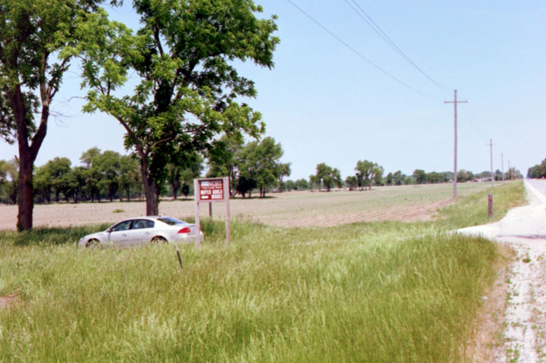
Moyer Gould Entrance Sign
Directions from Delphi
From the intersection of IN-25Business & IN-39(IN-421), the Delphi Dairy Queen corner.
Go Northwest on IN-39N and US-421N toward Monticello.
Travel 3.0 miles to the stop intersection.
Turn right (North) staying on IN-39N and US-421 toward Monticello. (Do not go straight at stop on IN-18 to Brookston.)
Travel 1.4 miles (North)to dirt, gravel, black walnut shell road on left (West).
(Yes, just head down between the fields on this road to the parking area.)
(This lane is 0.6 miles North of CR 400 N & US-421 intersection and about 0.3 miles South of CR 500 N & US-421 intersection.)
Directions from Monticello
Head South out of town on US-421 (IN-39).
Travel appx. 8 miles South of the Tippecanoe River Bridge on the South side of Monticello.
Turn onto dirt, gravel, black walnut shell road just 0.3 miles south of the intersection of US-421 & CR 500 N. (If you get to the stop intersection at IN-18, you have gone about 1.4 miles too far.)
The Moyer Gould Woods address is 4620 N US 421.
The GPS location is 40.614326,-86.733833