This 255 acre property contains oak woodlands and restored upland praire planted in native grasses along with reforested bottomlands. A walk along the 2/3 mile, one-way walking trail covers some of the old Wabash and Erie Canal and leads to a 9 acre pond with a view of the nesting area of bald eagles.
The trail begins at the stake (with a metal blue #1 tag) heading northeast off the access road that is used as a hiking trail, running north and west from the parking area.

Grassland and reforested bottomlands along access road between parking area and Wabash River at Shawnee Bottoms.

Reforestation trees and grasslands along Wabash River.
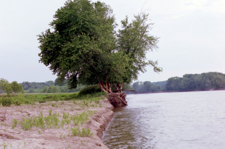
End of access road used as a walking trail at Wabash River’s banks.
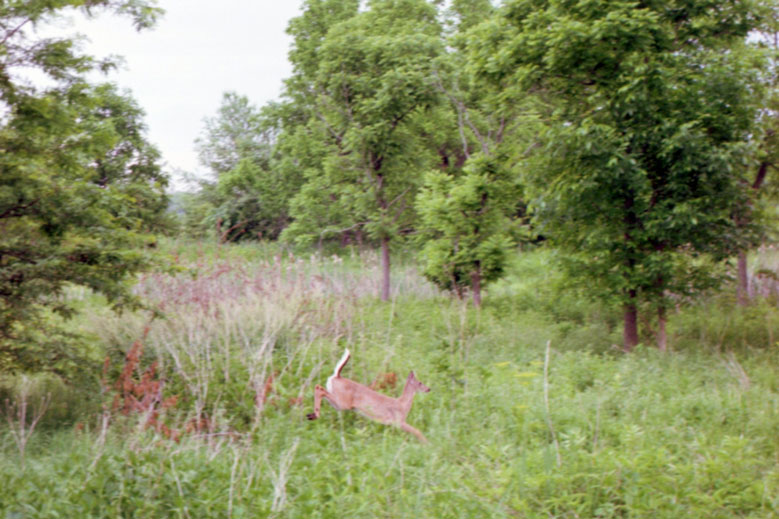
White tail deer cutting thru Shawnee Bottoms woodland area.
 Directions
Start from the intersection of IN-28 and US-41 in Attica, IN
Go south 3.4 miles to E Covered Bridge Rd. (just past the crest of the hill by the old bowling alley)
Turn right onto E Covered Bridge Road. Go 0.4 miles curving around thru the covered bridge onto N Rob Roy Rd. Continue 300 feet and turn right back onto E Covered Bridge Road.
Travel 4.1 miles to Shawnee Bottoms – Bodine Tract parking area on your right. (This is at a 90 degree left turn in the road just after a 90 degree right and a 90 degree left you have previously made.) (4.1 miles from N Rob Roy Rd is your key.)
The GPS coordinates for the location are 40.234623,-87.319397